

Outdoor GPS and mapping application ViewRanger has been selected by Google as one of the Best Apps of 2013.
Designed for outdoor exploration, the offline mapping and navigation software features a guided trail service, GPS mapped location without the need for mobile signal, track recording, sports computer stats, real time location sharing and can be used with a web account for route planning and publishing.
Other features include active route navigation, access to 1000’s of route guides, integration with social media and multiple free maps including OpenStreetMap and OpenCycleMap Global street & terrain mapping, Bing Aerial Imagery, Ski map and Transport map.
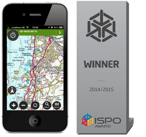
The selection follows ViewRanger’s recent success of being named winner of the ISPO Mobile App Award 2014 – a prize which recognises innovative sports products. Used by more than 100 search and rescue teams worldwide, the app has also been chosen to represent British mobile technology at the Mobile World Congress in 2014.
RELATED LINKS:
www.viewranger.com/en-gb