Noone has commented on this article yet.
One of the world's greatest treks takes hikers around Western Europe's highest peak
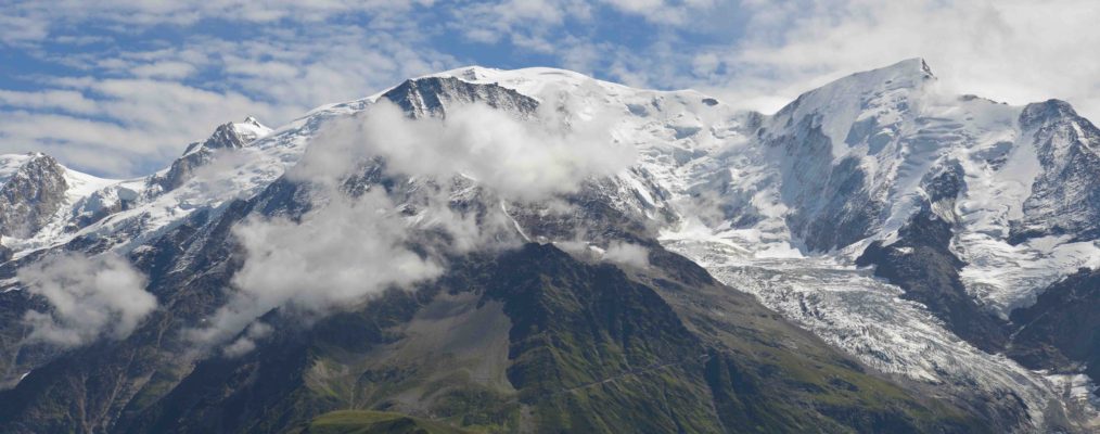
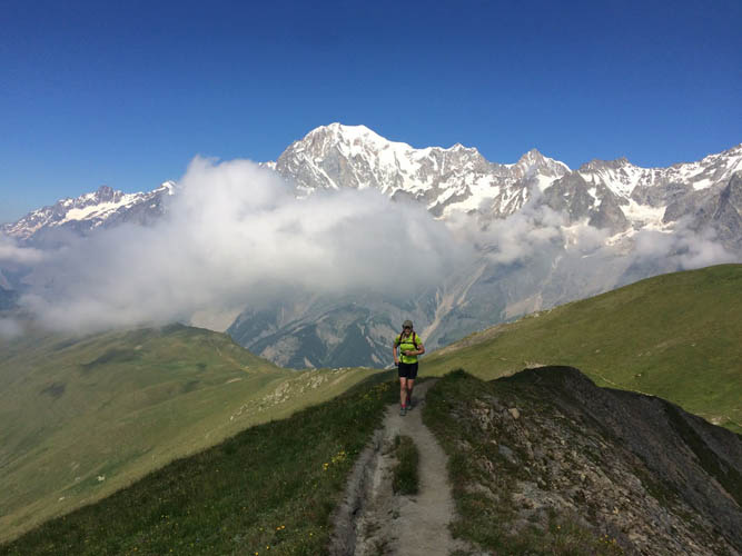
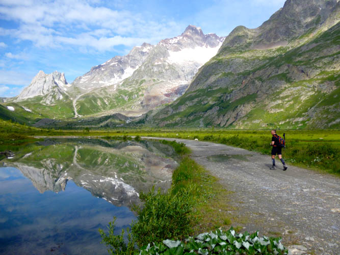
The Tour du Mont Blanc is on most trekkers’ bucket lists, and consistently features in Top 10 lists (it was voted number 3 in our Top 100 Treks poll last year – Ed) for the most visually stunning long-distance hike in the world. The ‘TMB’, as it’s known, means many things to many people; for some it’s a hotel-to-hotel hike with minibus-supported baggage transfers; for others it’s a hut-to-hut trek, while a minority backpack it or even run the loop. At one end of the scale, it can take two full weeks when walking it slowly, while the speed record stands at just over 20 hours of continuous running.
Most hikers walk the route anti-clockwise, starting at Les Houches near Chamonix, though of course you can walk the circuit in a clockwise direction if you wish, and also start/end at any point along the route too. The advantage of also going anti-clockwise is that you will not keep passing hikers coming in the other direction, and you can sometimes walk all day without seeing another hiker.
There are plenty of variations on the main TMB route, and numerous possible itineraries depending on how far you want to walk each day and what type of accommodation you want, however we have come up with our ‘ultimate TMB’ itinerary, and it is as follows:
Day 1 – Les Houches to Les Contamines
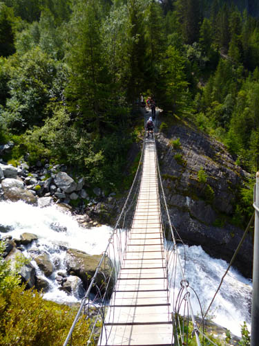
There’s no reason why the TMB traditionally starts and ends in Les Houches at the lower end of the Chamonix valley, but it’s easy to access, and so makes logistical sense. You can access Les Houches from Chamonix by bus or train, and it’s free with a tourist card (carte d’hote) which is supplied by all accommodation providers. The first section of the TMB follows a dusty rutted 4×4 track to Col de Voza, but you can bypass this easily. As you walk pass the town hall in Les Houches, just ahead is a small stream, and a road that turns sharp left up the hill. Follow this to the road head at Layouts, and then up the single track into the forest upwards to reach Les Grands Bois. As you exit the forest you see the tele ski ahead, and veer left up the trails to reach the top Bellevue cable car station, where you are rewarded for your efforts with great views of the Bionassay Glacier and back into Chamonix valley. Cross the Tramway Mont Blanc tracks, and descend into the forest slightly before turning left and traversing around the contour of the valley on a narrow path. As you near the glacier you’ll spot a path off to the right, which bursts out of the forest, for an exhilarating river crossing on the Bionassay suspension bridge. Once on the far side, you climb steadily upwards to reach the Col du Tricot (2,119m). Ahead is a steep descent into the Alpage du Miages, a delightful pasture at the foot of the Domes du Miages. At the base of the alpage is a cluster of buildings, the huts of Chalets de Miage. Cross the river on the bridge, and then head upwards towards the Chalets du Truc. It’s well worth diverting right to take in the small summit of Mont Truc (1,814m), as despite its modest height, it offers a 360 degree panorama that is hard to beat. On one side you are surrounded by the peaks of the Aiguille du Bionassay and Domes du Miages, and on the other by Mont Joly, then the Chaine des Aravis and Rochers du Fiz. Descend past the Chalet du Truc, and onwards through the woods to reach Les Contamines. Here you rejoin the main TMB track and follow it up the valley past the baroque church of Notre Dame de la Gorge. Follow the rocky track of the old Roman road up the valley to reach the Nant Borrant refuge. If you are staying in huts, this is your destination for the night, and if camping continue up the trail until you leave the woods and a camping area is signposted on the left.
Day 2 – Les Contamines to Les Mottets
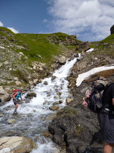
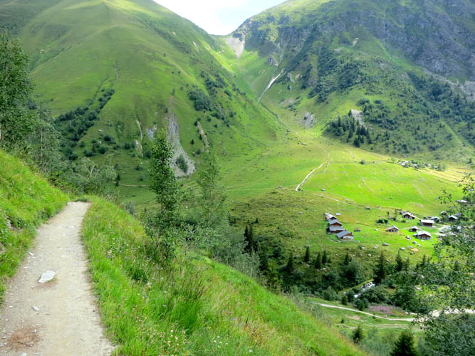
The route winds slowly upwards along the valley through woods and alpages with stunning mountain views ahead to the limestone peaks and upwards to the Col du Bonhomme. You soon pass the Refuge de la Balme; above here the path becomes a single track again, making its way up below the pylons, then after a brief respite, on upwards more steeply past the Tumulus and onwards through a rocky section to reach the Col du Bonhomme. In the event of poor weather there is a shelter here that looks distinctly like it was a bus stop in a former life. Here you traverse left across rocky ground and a few steeper steps to contour around the hillside to reach the Col de la Croix du Bonhomme. This is marked with a well built cairn, and you can spot the Bonhomme hut just below. Don’t descend with the rest of the TMB trekkers, but turn left and follow the feint track upwards to the remote Col des Fours. Dots of paint on rocks mark the way, and it’s fairly easy to find, even in mist or cloud. Before crossing the Col des Fours, continue up and left to reach the summit of the Tête Nord des Fours 2,756m. This will be your altitude high point of today, and you get an unforgettable panorama of the massif, and view down to your track of the day before. There’s an orientation table on the summit, but you rarely see any other trekkers here. Return to the Col des Fours, and turn left to cross it. A steep descent brings you down over loose screes, and you veer around left past a tumbling waterfall, before a right turn into the wild upper Tuffs valley. Follow the path down to reach the farm buildings at the Ville des Glaciers. Here you can buy Beaufortain cheese from the farmer, as this is one of the main dairies in the region. Cross the bridge over the river, and turn left up the track to reach the Les Mottets hut, the destination for those staying in huts for the night. If camping, there is a marked area close to the hut, and a ready water supply nearby from the streams, but for a more wild camping experience you could head upwards towards the Col de la Seigne, and there are some great sheltered valleys just below the pass.
Day 3 – Les Mottets to Courmayeur
From the mountain hut of Les Mottets, you ascend steeply at first, before the trail eases its gradient to lead upwards to the Col de la Seigne (2,513m), which marks the border between France and Italy. You’ll see some old ruins of defences dotted along the border, long forgotten and unused. Ahead is a breathtaking view of Mont Blanc, and along the length of the Val Veni and Val Ferret to the Swiss border on the Grand Col Ferret ahead. In the foreground are two limestone pyramid-shaped peaks. Ignore the hoards heading straight down into the valley, and cut left of the limestone twin peaks to cross a small pass behind them. Follow the path downwards on the far side to reach the Elizabetta Soldini hut, which is famous for its cakes. Descend onto the main track below the hut, and along the flat valley floor past Lac Combal. Before crossing the bridge at the far end, turn up right on a path that leads steeply upwards past ruined farm buildings. Eventually you reach the high point of the exposed Arete Mont Favre, before a short steep descent. The path then contours onwards across the mountain to enter the Courmayeur ski area. You reach the Col Checroui before following the TMB signs to follow single tracks down through the forests to emerge into the oldest part of Courmayeur, along the cobbled streets of Dolonne. The yellow and black TMB signs steer you through a labyrinth of passageways and arches to emerge next to the river, across from the centre of Courmayeur town. Follow the road to reach the central square and bus station. For those staying in huts, there is a wide choice of accommodation options to suit all budgets in town. For those wishing to camp, you should treat yourself to a half way campsite night, so you can grab a shower and some local food.
Day 4 – Courmayeur to Bonatti Hut
Head through town and initially along the trails through Saxe into the Val Sapin. Turn left over the bridge and take the steep track zigzagging upwards towards the Bertone hut. This is a lung-busting ascent for most, and the hut only comes into view when you are a very short distance below it. Continue upwards to the viewing table above the hut, and turn right away from the TMB track that counters around the mountain, to head straight up a single track that seems impossibly steep at first. It soon eases off and you gain the wide ridge crest of the Mont de la Saxe (2,346m). There are spectacular views of the south side of Mont Blanc and the Grandes Jorasses. At the far end, you traverse the slopes of Testa Bernarda to reach the top of the Tête de la Tronche (2,584m). You then descend very steeply on an eroded loose rubble path to reach the to Col Sapin. Here you turn left and cross the Armina valley to the pass directly opposite, the Pas Entre Deux Sauts (2,521m). This involves descending to the stream crossing near a ruined farm building, and a climb upwards to reach the pass. Here it’s worth a diversion to turn left and follow a faint path upwards to gain the ridge crest of the Tête Entre Deux Sauts, and to follow it to the summit. The views here down to the Bonatti, across to the Grandes Jorasses, and over to the Col Malatra are strikingly contrasting due to the geological changes in the landscape from granite to shales and limestone. Return to the pass, and turn left to descend into the Malatra valley to reach the spectacularly-located Bonatti hut, where you spend the night. This splendid hut is more akin to a hotel than a rifugio, and Mara and her team always produce amazing meals. The walls are adorned with photos taken by the legendary Italian climber Walter Bonatti himself. For those wild camping, turn right and follow the obvious rising contour trail on the far side, which ascends to above Arnuva. There’s plenty of great places to wild camp along the trail, with good water sources, and views of Mont Dolent and the Val Ferret. If you wish to push on further, there are also great wild camping spots close to the Gran Col Ferret.
Day 5 – Bonatti Hut to Champex
Ignore the classic TMB trail which descends into the valley, and follow the rising traverse path upwards along the valley. This eventually brings you to an abandoned farm above the hamlet of Arnuva, where there’s no option but to descend. Once in the valley floor, turn right and ascend on the trails to ascend quite steeply to reach the Refugio Elena, famous for its hot chocolate. You then start the steady but long climb up to reach the Grand Col Ferret (2,537m), where you pass into Switzerland. Descend to reach the hut at La Peule, and then leave the TMB track which heads down to Ferret and the often festooned with climbers’ ropes. Ahead there is a series of easy short ladders and wooden steps up the steep valley side to reach the Tête au Vents. Ignore the TMB path across to Flégère, and climb first up to Lac Blanc. There’s another set of ladders near the Lacs de Cheserys, before you reach the hut buildings and the beautiful Lac Blanc. There’s always lots of tourists milling around near the hut, but walk right to the upper lake, and you’re generally on your own and can take in the views of the Mont Blanc massif reflected in the chalky blue waters of the glacial lake. For the brave, you can also have a dip. Return to the hut, and ignore the path dropping to Flégère, and take the upper trail to l’Index. This contours around the mountains, to reach the top of the chairlift. Just beyond the path drops a little to pass the foot of the rock cliffs of Index, to ascend again to cross the Col de Gliere. There’s a few chains to protect the steeper sections here. On the far side of the pass, you cross the boulders and rocks to reach the Col Cornu, with the icy waters of Lac Cornu below. Beyond are the huge limestone cliffs of the Rochers du Fiz. From Col Cornu you descend towards Planpraz, and just before you get there turn right up the path leading to Col du Brevent. Here turn left and traverse the rough ground and ladders to reach Col du Brevent and then right to Le Brevent (2,525m). This is your last summit of the day, and it’s all downhill to firstly reach the Bel Lachat mountain hut, then onwards where you start a long steep descent down to reach Les Houches, where you started the trek.
You have now completed the full circuit of the Mont Blanc! Not the Classic TMB, but nice variants to help you escape the crowds, and do a tougher trek that is more rewarding both visually, physically, and mentally. You’ll have really pushed yourself to complete this route in seven days, but to have avoided the crowds, and to have taken in so many extra summits and viewpoints, will make all the efforts worthwhile.
‘Ultimate TMB’, by Kingsley Jones (Issue 71, May 2017)
When to go:
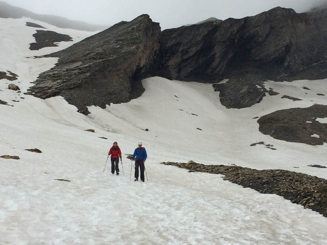
Huts around the TMB are open from early to mid-June, through to mid-September. Don’t go too early as there will still be significant icy snow patches around still. The best periods to go are late June to early July, before the school holidays, then from late August until mid September when it gets a lot quieter. Also be aware of the
Ultra-Trail Mont Blanc race, which follows major sections of the route on the last weekend in August.
How to get there:
Fly to Geneva airport, and catch the bus or use one of the many airport transfer minibus companies. To travel in style, try www.deluxe-transfers.com. For reliability, try www.chamonix-valley-transfers.co.uk. If you are a budget, then you must try www.easybus.com.
Where to stay:
Chamonix is the best base, as you’ve got the widest range of equipment shops, transport links, restaurants, and things to do. To rent a flat for a week: www.myfrenchchalet.com. For the cheapest place in town: www.chamoniard.com. For camping the best site is: http://chamonix-camping.com.
How hard:
Without good preparation, our Ultimate TMB route will hurt – a lot! There’s significant elevation gains/losses on this trek, and long – and continuous – days of trekking, so you need to get your hill training started, and be used to long days on your feet. Take walking poles – even elite mountain runners use them these days.
Who to go with:
Icicle Mountaineering (the authors of this article) offers the itinerary outlined in this feature as a guided option, as well a wide range of self-guided options too; www.icicle-mountaineering.ltd.uk/tmb.htm. The company is based in Windermere in the UK Lake District, and has been offering specialist Alpine treks for nearly 20 years.
Useful books, maps and websites:
For information on the latest conditions: www.chamoniarde.com/?lang=en. There are two books to consider for the TMB – the trekking route by Kev Reynolds (www.cicerone.co.uk)or the running route by Kingsley Jones (also www.cicerone.co.uk). For a map covering the whole route, get hold of Rando Editions’ 1:50,000 Pays du Mont Blanc map.
